FAST FACTS
Constructed: 1903
Current Status: Demolished
Strategy: Replace
ENGINEERING DETAILS

Truss Type:
91’ de Burgh
Geometry: 1 truss span, total length approximately 30 m.
IMAGES FOR DOWNLOAD
ABOUT THE BRIDGE:
Surveyor Meehan camped at Grabben Gullen (about 10kms south of Crookwell), in April, 1820 and noted that the morning was "very fine, with a light frost", but Crookwell was not officially named until a report of Surveyor Armstrong after he surveyed its site on August 13, 1860. He stated: "It would be appropriate to call it Crookwell".
Claims have been made by many descendents of early settlers that their ancestors were the first to settle in the district, but records are few. It is certain that settlers had visited the district and placed men in outposts before 1828. By that year the Crookwell River had been named. The earliest map bearing the name "Crookwell" was surveyor Dixon's trace of the Dividing Range between the eastern and western waters. His map was dated 1828 and on it is marked "road to Crookwell River or Kyama". Crookwell had been named by the 1860's but the original town site of Brooklands (on the western end of town) was first known as Kiama. There is much controversy as to how Crookwell got its name and no definite or conclusive evidence on the original naming has ever been discovered.
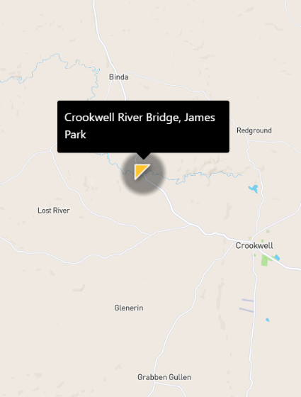
The Crookwell Bridge was a de Burgh timber truss road bridge and was completed in 1903. Old Parish map records show the bridge in place in 1916. Binda Road had been formed by 1855 (Sydney Morning Herald 15 August 1855:2), with its original alignment over the Crookwell River located slightly to the west of the present alignment. In 1902, the Department of Public Works drew up plans to replace the original bridge over the river and alter the road alignment, and the present bridge was completed in 1903. The former road alignment would also have involved land disturbance to the northwest of the current bridge, between 20 and 50 metres from the present‐day road (Artefact Heritage 2013).